
United States / Guided product tour
Step 2 of 4
Inspect the parcel.
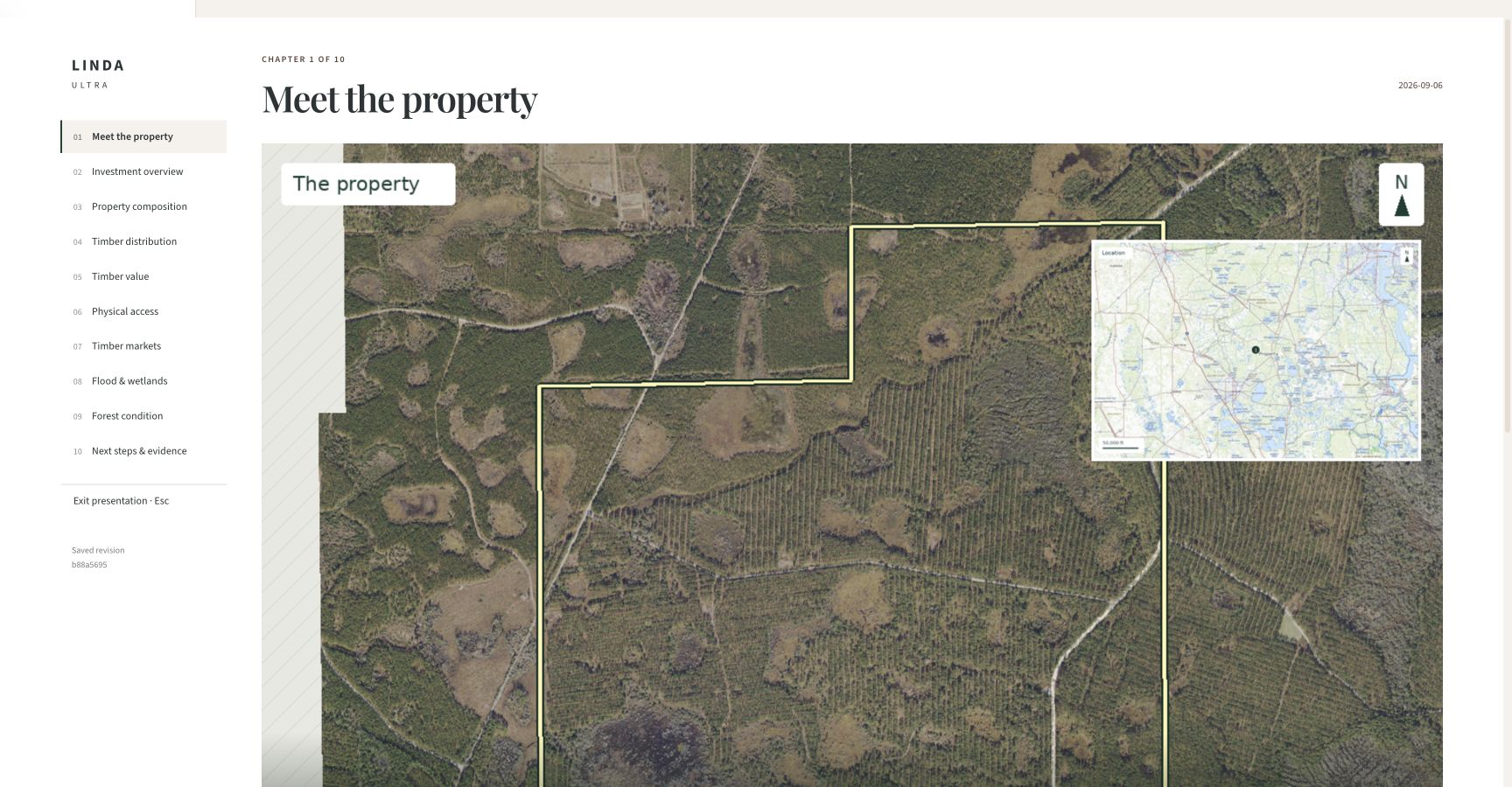
See the boundary and surrounding landscape before moving into the timber and valuation evidence.
Sources and assumptions
Reference parcel, not a claim of ownership or sale availability. Aerial imagery: USDA NAIP / USGS The National Map. Location inset: USGS topographic basemap. Observation dates and source coverage vary.
What does this help you decide?